
9 crime(s) reported
| Show as Table
Loading...
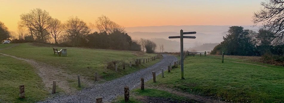
Click on a marker to view crime details. Note: locations are approximate and anonymised by the police.
| Date | Category | Location | Outcome |
|---|---|---|---|
| May 2026 | Anti Social Behaviour | On or near Parking Area | Under investigation |
| May 2026 | Anti Social Behaviour | On or near Parking Area | Under investigation |
| May 2026 | Criminal Damage Arson | On or near Parking Area | Investigation complete; no suspect identified |
| May 2026 | Public Order | On or near Parking Area | Under investigation |
| May 2026 | Public Order | On or near Parking Area | Investigation complete; no suspect identified |
| May 2026 | Violent Crime | On or near Parking Area | Under investigation |
| May 2026 | Violent Crime | On or near Parking Area | Under investigation |
| May 2026 | Violent Crime | On or near Weston Fields | Investigation complete; no suspect identified |
| May 2026 | Violent Crime | On or near New Road | Unable to prosecute suspect |
Crime data from data.police.uk. Map data © OpenStreetMap contributors.
Click here is to see the key for the map.