
The rocks and landscape of the area around Albury are of great interest, attracting parties on geographical and geological field excursions.
The area owes its character to two events in geological time. The first occurred some 120 million years ago during the Cretaceous period and when dinosaurs were still about: at this time the area was low lying and covered by shallow seas and lagoons in which were deposited layers of contrasting sediments which later dried and hardened into beds of chalk, clay and coarse sand. The second event took place about 20 million years later when these horizontal beds were contorted during the period of earth movements which caused the formation of the Alps. Here in Surrey, the rocks suffered only “the outer ripples of the Alpine storm” and they were gently folded and lifted up. The top of the upfold has been removed by erosion and the underlying rocks revealed like the layers of an onion: what was the summit of the upfold is now a valley occupied by the river Tillingbourne and the hills on either side are formed by the rocks on the flank of the upfold.
The contrasting layers of the earth's surface present in this small area make Albury an area of high interest to those interested in Geology and Geography.
This long story of submergence, folding and erosion has produced the varied landscape of Albury: a series of strips of different rock types runs east-west through the area and these differences give rise to variations in the height of the land, in its natural vegetation and in its present-day land use.
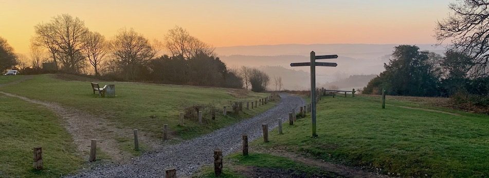
The lower slopes below Newlands Corner
Prominent to the north is the high escarpment of the North Downs: much of the chalk parent rock is covered with more recently deposited sands and gravels and these are covered in woodland, much of it planted. From the summit at Newlands Corner the chalk slopes steeply south and where the land is too steep to cultivate, scrubland occurs with an assemblage of chalk-loving plants. The lower, gentler, slopes form an open landscape of large fields, largely under arable cultivation.
The chalk is underlain by a bed of clay which outcrops at the foot of the downs and which serves to hold up rainwater draining down through the permeable chalk on top of it. In places this water ‘overflows’ to produce springs which have eroded hollows or ‘combes’ in the hillside and which produce lakes of limpid, filtered water as at The Silent Pool.
The next east-west strip is a belt of coarse sand, the Folkestone Beds. Since this outcrop is highly permeable the rainwater percolates straight through the sand with the consequence that erosion is slow and the outcrop stands up as a semi-continuous ridge from St Martha’s Hill in the west to Weston Wood in the east. Soils on the Folkestone Beds are very infertile since the parent rock is formed of grains of insoluble sand and their permeability means that the few nutrients available are rapidly washed away. Consequently the outcrop is heavily wooded largely with conifers tolerant of the infertility and dryness. Interestingly, the Folkestone Beds lend their character to many buildings as well as to the landscape: mixed with the sands are thick layers of ironstone made up of sands cemented by percolating water rich in dissolved iron. This dark red ‘carstone’ can be seen as blocks and layers in many house fronts and walls, whilst smaller chips are embedded as decoration in the courses of mortar.
Conifers, heather and ferns make up a large part of the outcrop on the folkstone beds.
The valley floor is cut down into a layer of sandstones of a slightly earlier age but which are equally infertile; these are the Hythe Beds. They can be seen in the land which rises south of the Tillingbourne, where sunken lanes reveal exposures first of Hythe Beds and then a second and wider outcrop of Folkestone Beds. Much of this is, as before, wooded but the southern half forms the open scrub of Blackheath, Albury and Farley Heath with an assemblage of plants adapted to the acid and infertile conditions.
Typical Heathland in Blackheath, Albury and Farley Heath
Further south still the Hythe Beds reappear at the surface and rise to form the magnificent wooded escarpments of Winterfold Heath, Pitch Hill and Holmbury, overlooking the clay lowlands of the Inner Weald.
For more information about the unique Geography of the area a booklet can be obtained from the Newlands Corner information centre.